Anti-seismic improvement
The differences between seismic improvement and seismic retro-fitting of...
Read more


August 2, 2023
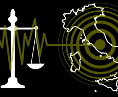
For some years, the term “crater” has been used to describe areas affected by earthquakes, referring to the damage incurred and the allocation of funding and interventions for reconstruction. But where does this term come from? And what are the municipalities that are currently located in these areas?
This semantic neologism gained popularity after the earthquake in L’Aquila in 2009 and, subsequently, after that in Emilia in 2012. Today, there are thousands of occurrences of this word on the internet. However, it should be noted that the term “seismic crater” is not used by specialists and is not present on scientific sites such as that of the National Institute of Geophysics and Volcanology, where the term “crater” is used to describe the cavities of volcanoes.
The lack of a definitive explanation has led to different interpretations of this re-semantization. One possible explanation suggests that the volcano analogy might subliminally trigger the idea of something hidden and a mysterious bubbling threat beneath our feet, thus creating a metaphor for potential destruction. However, this explanation raises several concerns.
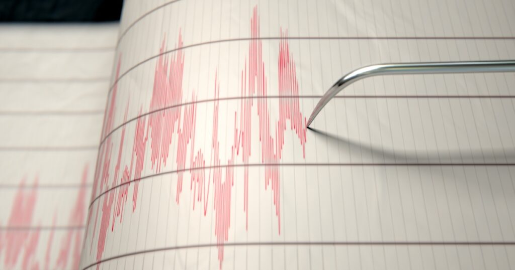
Another hypothesis could be derived from the graphic representation of the epicenters and areas affected by earthquakes on geographical maps. These areas are often indicated in shades of red or other warm colours, and the circular shapes may resemble craters, whether volcanic or otherwise. Therefore, it could be a visual metaphor, in which the term “crater” was adopted to recall the appearance of the areas affected by earthquakes on paper.
However, a more precise explanation on the origins of the term “seismic crater” derives directly from the first use of this neologism, dating back to 1980, when Giuseppe Zamberletti, former Minister for Civil Protection and Marine Policies of Italy, used it on the occasion of the Irpinia earthquake.
According to Zamberletti, the term “crater” did not refer to the epicenter, but to the perimeter traced on a map of the municipalities most affected by the earthquake, to which state aid was intended. The edge of the crater, for Zamberletti, resembled the edge of a volcanic crater. Since then, the term “crater” has remained in the civil protection lexicon.
In the “La Stampa” article of 6 March 1981, Zamberletti explained to the parliamentarians of the two commissions, who were examining the measures for the reconstruction of the areas hit by the earthquake, that priority had been given to “the choice of pre-fabricated housing, suitable for a long stay, in the 35 municipalities of the so-called crater (the most damaged centres, ed.) involving local administrations.”
To date, the crater area includes 140 municipalities, spread across Abruzzo, Lazio, Marche and Umbria.
Barete (Aq); Cagnano Amiterno (Aq); Campli (TE) Campotosto (AQ); Capitignano (AQ); Castelcastagna (Te); Castelli (TE); Civitella del Tronto (TE); Colledara (Te); Cortino (TE); Crognaleto (TE); Fano Adriano (Te). Farindola (Pe); Isola del Gran Sasso (Te); Montereale (AQ); Montorio al Vomano (TE); Pietracamela (Te) Pizzoli (Aq); Rocca Santa Maria (TE); Teramo; Torricella Sicura (TE); Tossicia (TE); Valle Castellana (TE).
Accumoli (RI); Amatrice (RI); Antrodoco (RI); Borbona (RI); Borgo Velino (RI); Cantalice (RI); Castel Sant’Angelo (RI); Cittaducale (RI); Cittareale (RI); Leonessa (RI); Micigliano (RI); Poggio Bustone (RI) Posta (RI); Rieti; Rivodutri (RI).
Acquacanina (MC); Acquasanta Terme (AP); Amandola (FM); Apiro (MC); Appignano del Tronto (AP);
Arquata del Tronto (AP); Ascoli Piceno; Belforte del Chienti (MC); Belmonte Piceno (FM); Bolognola (MC);
Caldarola (MC); Camerino (MC); Camporotondo di Fiastrone (MC); Castel di Lama (AP); Castelraimondo (MC);
Castelsantangelo sul Nera (MC); Castignano (AP); Castorano (AP); Cerreto D’esi (AN); Cessapalombo (MC);
Cingoli (MC); Colli del Tronto (AP); Colmurano (MC); Comunanza (AP); Corridonia (MC); Cossignano (AP);
Esanatoglia (MC); Fabriano (AN); Falerone (FM); Fiastra (MC); Fiordimonte (MC); Fiuminata (MC);
Folignano (AP); Force (AP); Gagliole (MC); Gualdo (MC); Loro Piceno (MC); Macerata; Maltignano (AP);
Massa Fermana (FM); Matelica (MC); Mogliano (MC); Monsapietro Morico (FM); Montalto delle Marche (AP);
Montappone (FM); Monte Rinaldo (FM); Monte San Martino (MC); Monte Vidon Corrado (FM);
Montecavallo (MC); Montedinove (AP); Montefalcone Appennino (FM); Montefortino (FM); Montegallo (AP);
Montegiorgio (FM); Monteleone (FM); Montelparo (FM); Montemonaco (AP); Muccia (MC); Offida (AP);
Ortezzano (FM); Palmiano (AP); Penna San Giovanni (MC); Petriolo (MC); Pieve Torina (MC);
Pievebovigliana (MC); Pioraco (MC); Poggio San Vicino (MC); Pollenza (MC); Ripe San Ginesio (MC);
Roccafluvione (AP); Rotella (AP); San Ginesio (MC); San Severino Marche (MC); Santa Vittoria in Matenano (FM);
Sant’Angelo in Pontano (MC); Sarnano (MC); Sefro (MC); Serrapetrona (MC); Serravalle del Chienti (MC);
Servigliano (FM); Smerillo (FM); Tolentino (MC); Treia (MC); Urbisaglia (MC); Ussita (MC); Venarotta (AP);
Visso (MC).
Arrone (TR); Cascia (PG); Cerreto di Spoleto (PG); Ferentillo (TR); Montefranco (TR); Monteleone di Spoleto (PG); Norcia (PG); Poggiodomo (PG); Polino (TR); Preci (PG); Sant’Anatolia di Narco (PG); Scheggino (PG); Sellano (PG); Spoleto (PG); Vallo di Nera (PG).
These so-called “crater municipalities” are precisely those with the highest seismic risk in Italy, which is why interventions to secure buildings in these regions are fundamental to safeguard people’s safety.